
TerraVantage
About
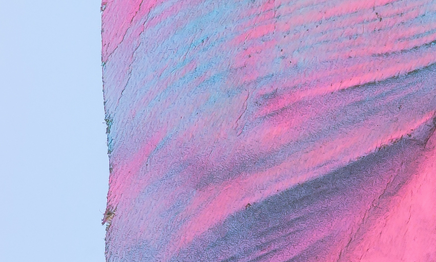
TerraVantage is a professional drone imagery service specializing in Orthomosaic Mapping and Aerial Visual Intelligence.
We deliver high-resolution, georeferenced imagery that helps clients evaluate land, monitor projects, and make informed operational decisions.
Built on aviation discipline and mission-focused execution, our work emphasizes clarity, accuracy, and trust.
Our services

Basic
Book today and experience the top-notch quality of our service firsthand.

Standard
We'll help you create a tailor-made solution that's specific to your needs and wants.
Premium
Our team works around the clock to make sure we deliver on time


Customer reviews

Daniel K.
"I honestly received the best service I could have asked for. They were super professional to deal with; they met all my needs and helped me a lot."

Ron H.
"The entire experience was so easy and friendly, and the price was very reasonable. I don't know what I would have done without them."

James F.
"I can't say enough good things about the quality of this company. Highly, highly recommend using them!"
Special features
Best Quality
We guarantee your full satisfaction
Family business
A professional, personalized experience

24/7 Support
Our phone support is always available to you